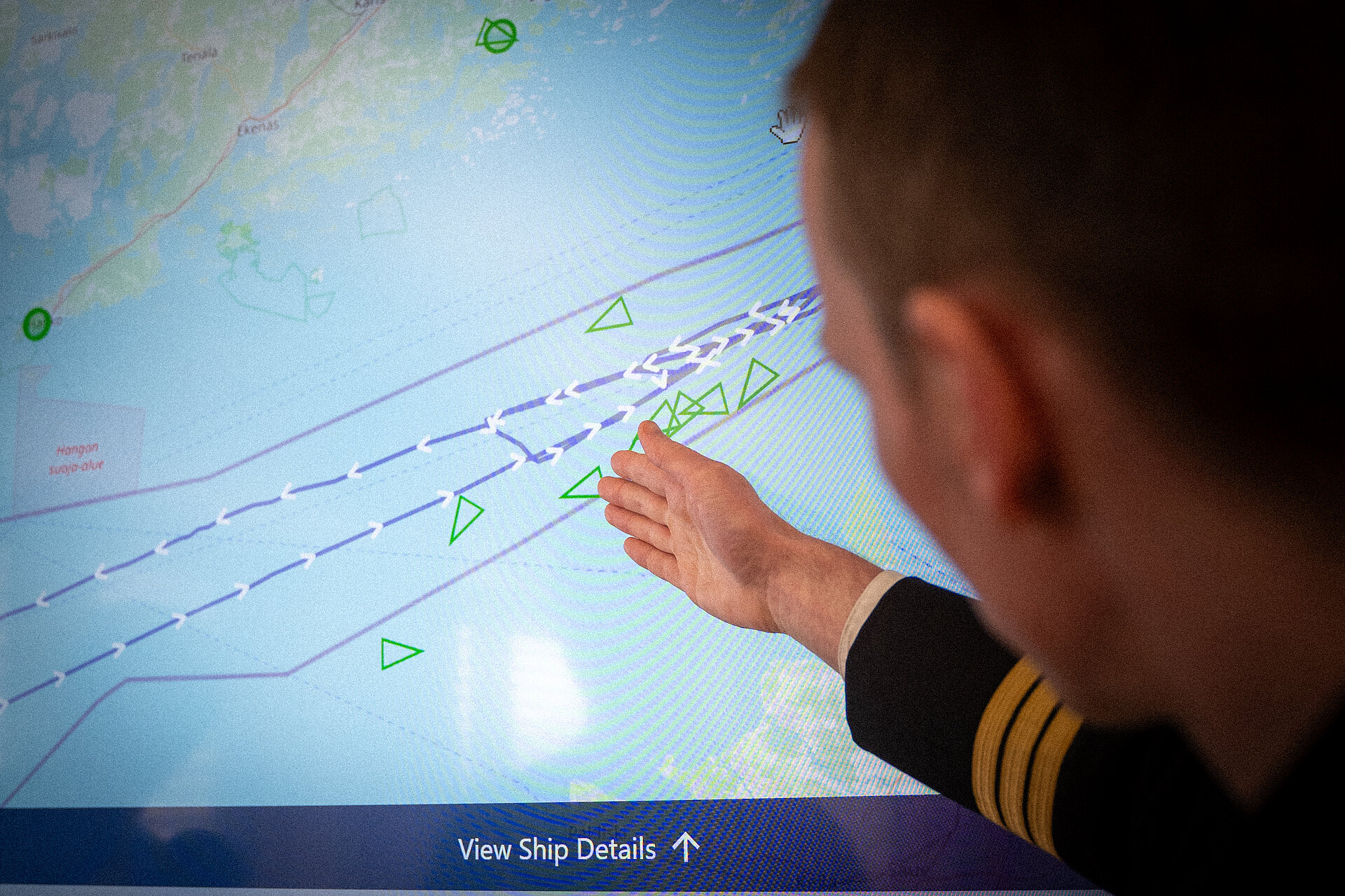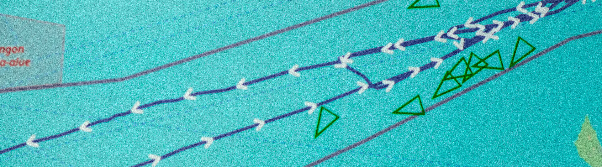
With the Multi Sensor Data Fusion (MSDF) innovation project, we can create a complete situational picture from space to the seabed for the first time. To do this, commercial data from various sources is merged with military data in such a way that there are no more blank spots. "Thanks to the software, we can seamlessly identify who is moving above the Baltic Sea, on the Baltic Sea or deep down on the seabed," says Jan Phillip Krahn, Product Manager Intrapreneurship, explaining the innovation project, which was developed as intrapreneurship by the troops for the troops. With MSDF, analysts and decision-makers on board naval units can recognize whether ships are following suspicious search patterns in the water so that they can intervene if necessary. This creates a comprehensive situational picture that enables the protection of critical infrastructure at sea.
"Our Multi Sensor Data Fusion innovation project brings together commercial data from space, sensor data from the seabed and military data for the first time. Specifically, we are forming a "Multi Sensor Data Fusion Cell" from all the data pots. Using modern data processing, we are also automating previously manual analysis processes," says Bundeswehr intrapreneur Commander Patrick O., explaining how MSDF works. With this innovative project, the navy now has the opportunity to bring together the sub-areas that previously created their own situation reports in order to create a uniform situation report for everyone. The special thing about this is that when ships switch off their AIS tracker for strategic reasons, they usually disappear from the electronic charts and are out of visual contact. Current satellite images close this gap. With the data from the Multi Sensor Data Fusion Cell, these ship routes can be mapped again and the speed of the ships displayed.